
DRONE MAPPING · PROGRESS MONITORING · SURVEY
Catch Construction Errors Before They Cost You.
Identify potential problems early with accurate drone and ground surveys.Track progress, verify construction against design, and avoid costly surprises.
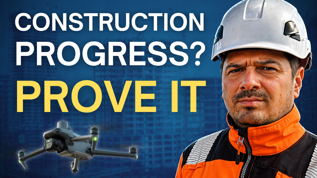
Why construction projects go over budget, and how to catch it early.
- 20+ YEARS: CIVILS, INFRASTRUCTURE, OIL AND GAS
- Technical Member CICES
- CAA-AUTHORISED OPERATOR
01 / THE PROBLEM
Projects rarely go over budget because of one big mistake.
They go over budget because small problems stay hidden too long.
OFFSET
Utility services slightly out of position
SLIPPAGE
Earthworks drifting off the programme
DEVIATION
A foundation that doesn't quite match the design
Nobody spots it early. Everyone keeps building. And a small issue becomes an expensive one.
Four parties. Four sets of priorities.
Most of the time, they're not talking to each other properly. So things slip through the gaps. And every one of those slips lands as a cost, on the contractor and on the client.
Design engineer
Is it built to my design?
Architect
Will it look and work as intended?
Main contractor
Are we on programme and on budget?
Client
Am I getting what I'm paying for?
Services out of positionEarthworks off programmeFoundation off design
Nobody owns the gap. That's where the money goes.
02 / WHERE PROGRESS MONITORING GOES WRONG
One gives you pictures. The other gives you puzzles.
TYPICAL DRONE COMPANY
Nice photos you can't measure from.
They fly your site and send you photos. Can you verify them? Do they meet any industry standard? Can you measure from them?
Usually not. So you can't rely on them when it matters.
TRADITIONAL SURVEY COMPANY
Accurate data you can't read.
The data is accurate. But it takes time, and what comes back is lines and dots. An abstract drawing you're expected to figure out.
Busy stakeholders don't have time to decode a survey drawing.
FLYING SURVEYOR
Survey-grade data anyone can read.
Accurate, reliable data, collected efficiently and checked to professional survey standards.
Presented so anyone can understand it. Even with no construction background. Even with five minutes.
Is my project on track, or is there a problem I need to deal with right now?
03 / THE APPROACH
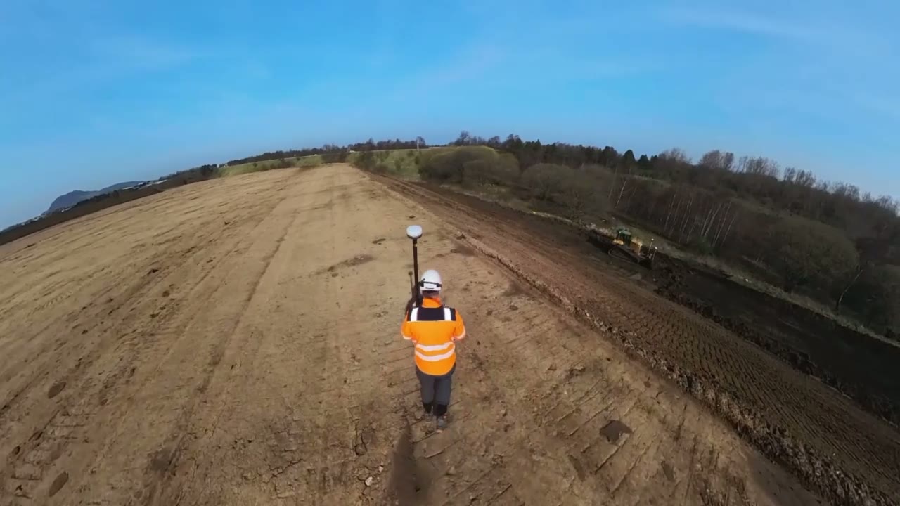
I'm not a drone pilot who bought a licence. I'm a surveyor who flies drones.
That order matters. The drone is one tool. The method depends on the project, not on what looks impressive.
- Aerial survey
- Drone mapping
- Terrestrial survey
- Laser scanning
- 3D photogrammetry
- Modern kit or classic kit
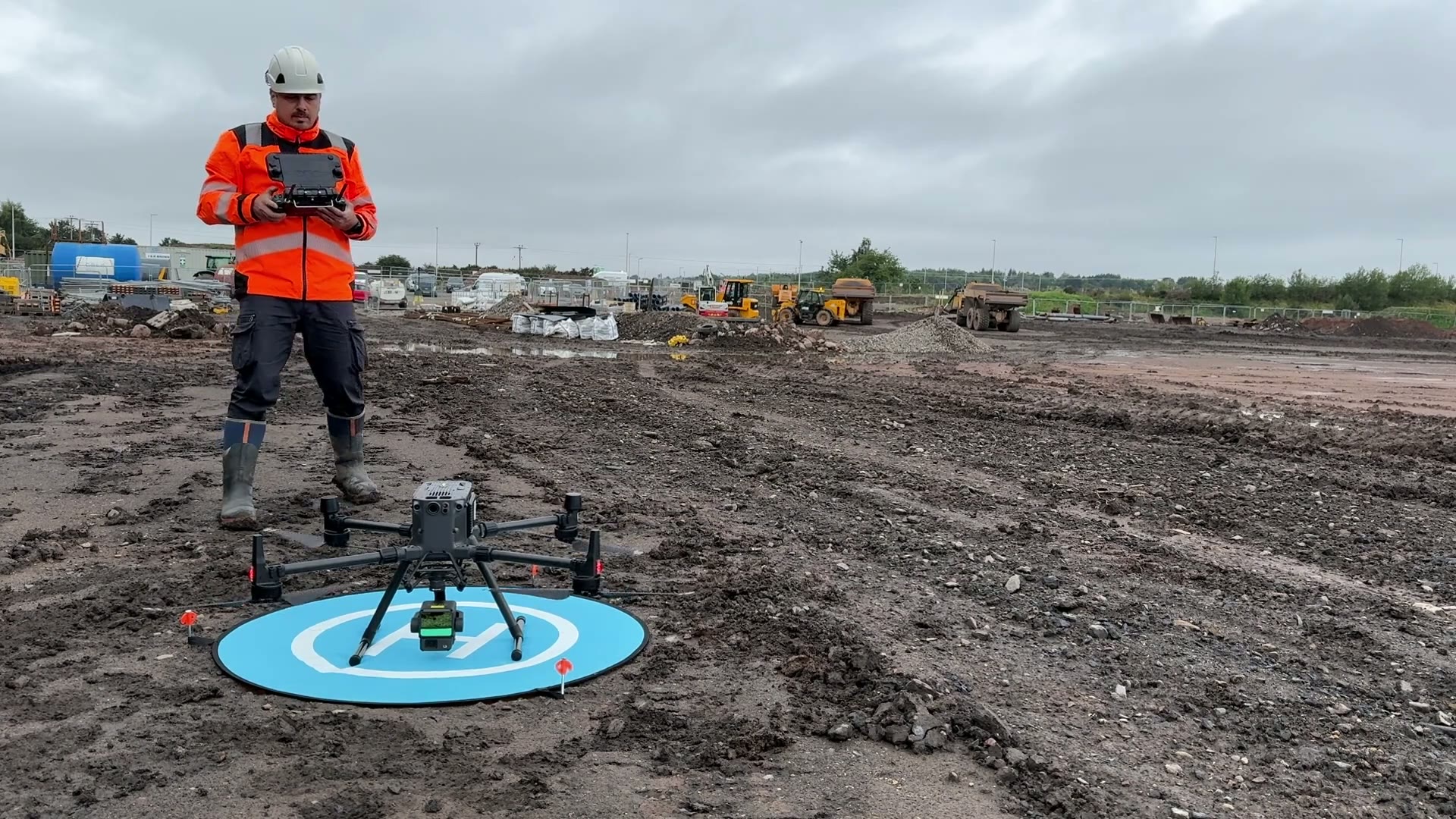
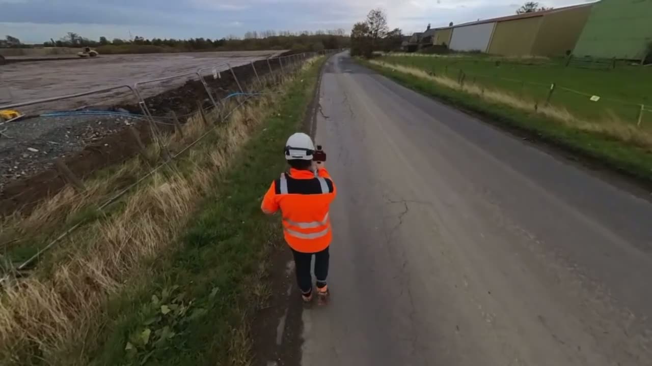
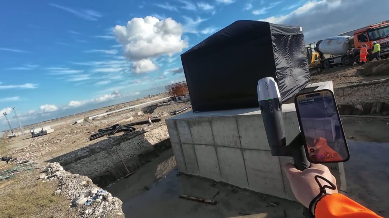
- 01
Capture
From the air, from the ground, or both. Drone mapping, laser scanning and ground survey, chosen to suit the site.
- 02
Check
Everything captured and checked to professional survey standards. Every survey comes with a checkpoint report showing the measured accuracy, so you know exactly how far you can trust it.
- 03
Deliver
The data becomes something your team can actually use: photos, a progress report, a short video and a 3D platform.
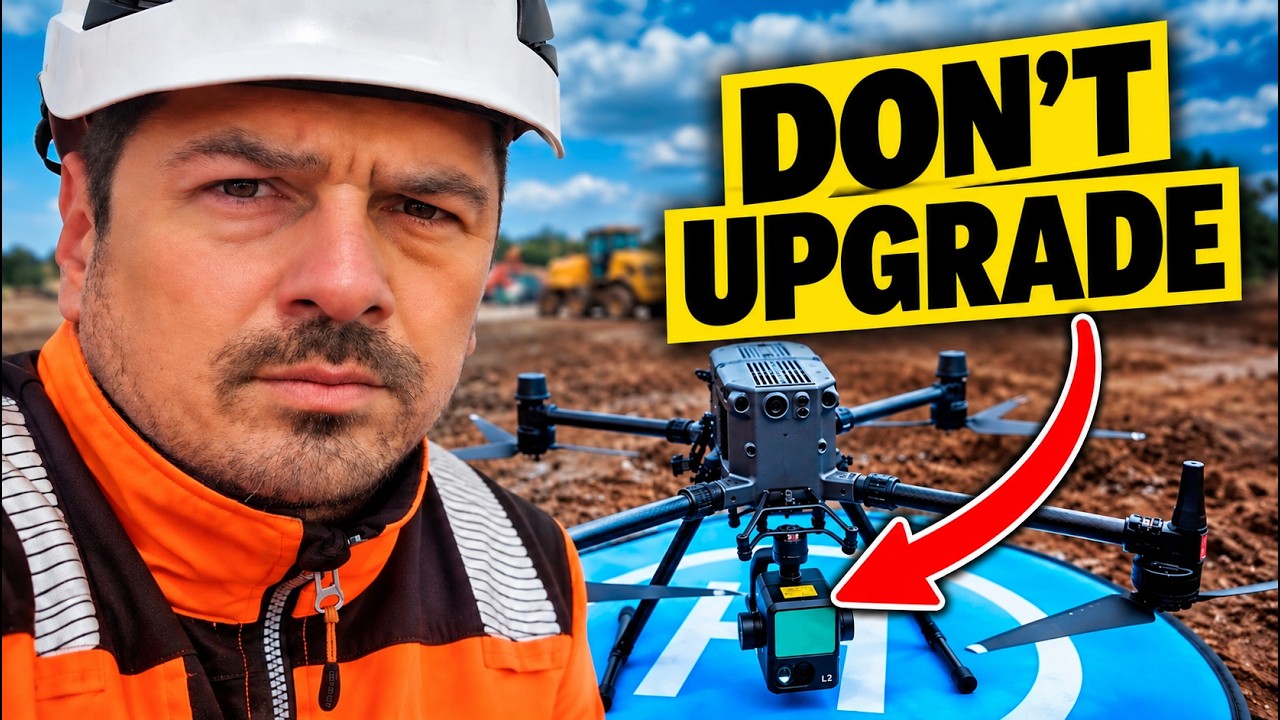
TESTED, NOT ASSUMED
I test my kit before I trust it on your site.
In my latest video I put drone LiDAR and photogrammetry head to head on a real site and check both against independent ground checkpoints.
Watch the test on YouTube04 / WHAT YOU GET
Clarity, backed by evidence.
Not a folder of orthophotos or a point cloud dumped in your inbox.
The design overlaid on what's actually been built. You see straight away whether the site matches the drawings.
A surface comparison heatmap. Where the ground is high, where it's low, and by how much.
Weekly cut and fill, progress by work package and anything that needs attention, on one page.
The whole site in 3D. Log in, look around, and compare this visit against the last.
Site imagery
Aerial shots from the drone, ground photos where they matter, and 360 panoramas of the key areas. Stand anywhere on site without leaving your desk.
Progress report
Quantities done since the last survey, and progress measured against the design. Format agreed upfront, and it evolves as the project changes.
Video briefing
A few minutes in plain language. What's been done, the highlights worth your attention, and where things are heading next.
Online 3D platform
Log in, view the site in 3D and compare this visit against the last. Everything date stamped, easy to track and easy to find.
PDF · VIDEO · GEOTIFF · LAS/LAZ · DWG/DXF · EXCEL · 3D. UPLOADED STRAIGHT INTO YOUR PROJECT'S DOCUMENT SYSTEM.
DELIVERED INTO AUTOCAD AND REVIT.
Your stakeholders see what's changed, where the project stands and how the money is being spent. Without driving to site. Without scattered photos and second-hand updates.
Download a sample reportThree ways to start.
05 / HOW OFTEN TO SURVEY
Monthly records your project. Weekly manages it.
Monthly is the standard answer, and it works. But if something goes wrong on day two, you won't see it for four weeks.
06 / RECENT PROJECTS
What it caught, and what it saved.
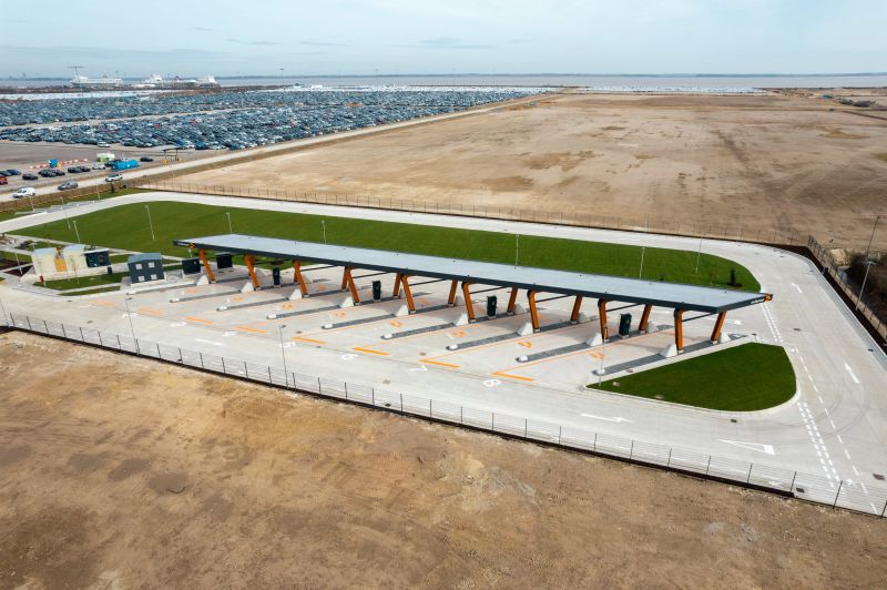
ENERGY · IMMINGHAM
Immingham Charging Hub
Initial topographical survey before work started, then setting out, volume checks and as-builts as the charging hub took shape.
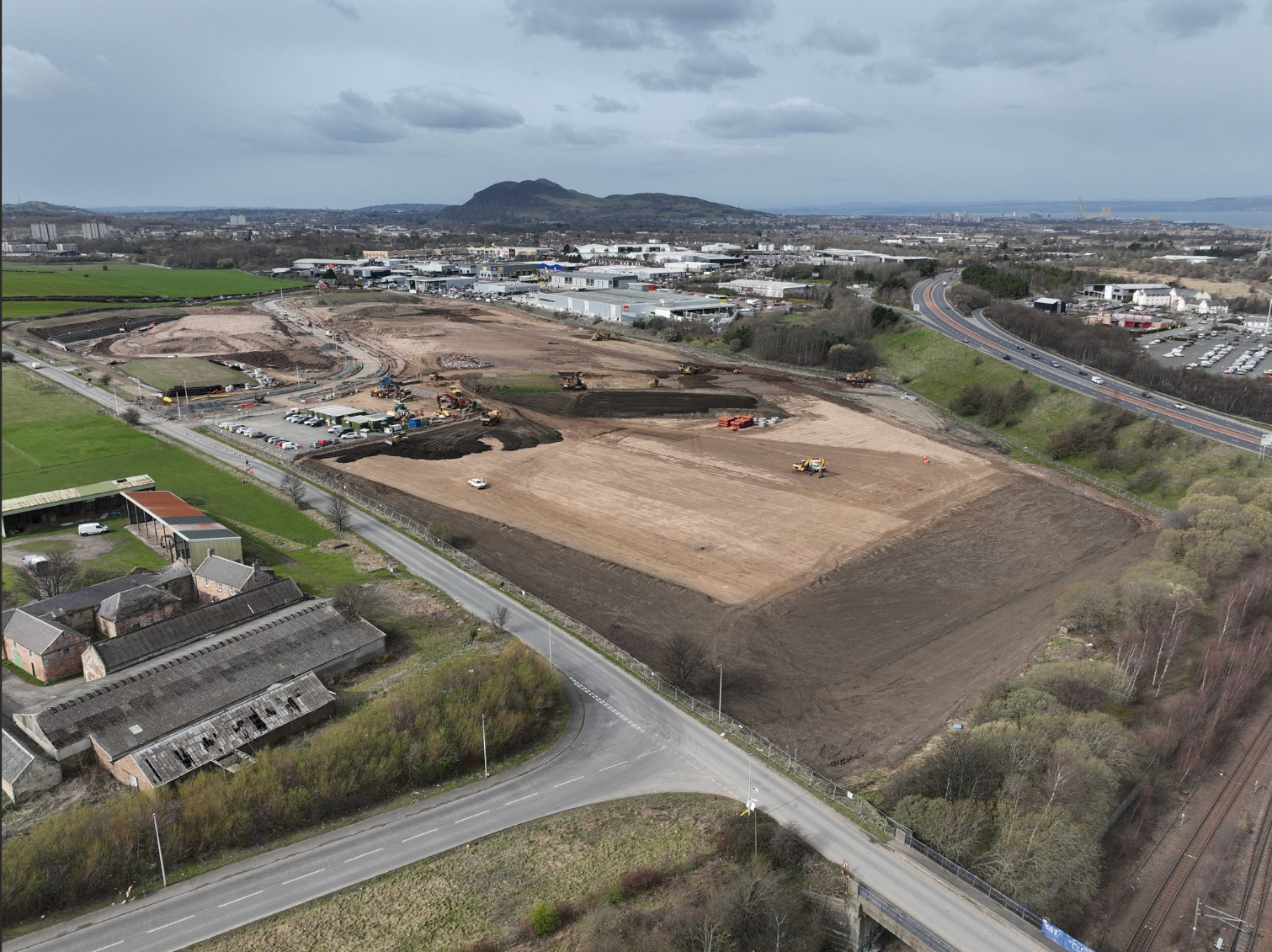
CIVIL · EDINBURGH
Shawfair Whitehills
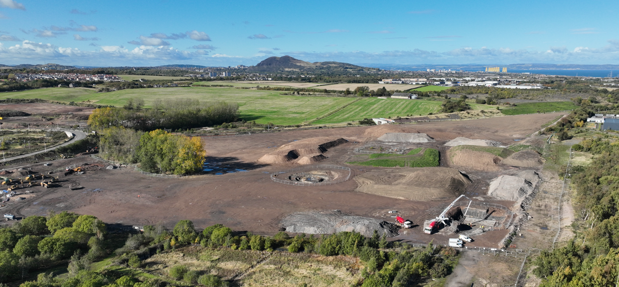
Weekly cut and fill volumes and construction progress monitoring, with as-builts to close out the site.
CIVIL · EDINBURGH
Shawfair Community Campus
Stockpile volumes, cut and fill, construction progress monitoring and as-builts across the campus build.
07 / WHO YOU'RE WORKING WITH
Twenty years of knowing what I'm looking at.
I've spent 20 years on construction projects all over the world. Civils, oil and gas, infrastructure. And I've seen the same thing again and again: when nobody has a clear record of what's actually happening on site, small mistakes turn into delays, disputes and extra cost.
For the last five years I've focused on one thing. Helping main contractors and clients see their projects clearly, and catching design clashes and site mistakes before they become expensive problems.
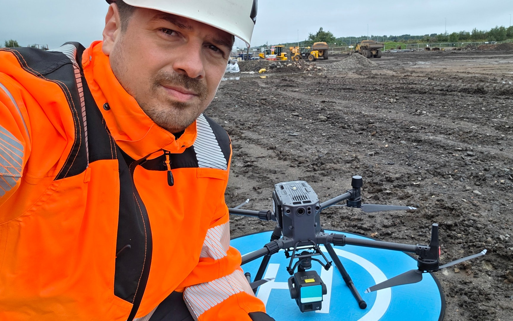
Stefan Niculescu TCInstCES
Director, Flying Surveyor Limited
Technical Member CICES · CAA-authorised drone operator · 20+ years in the field
INSURED AND ACCREDITED
Public liability £5m · Professional indemnity £1m · CSCS Gold Card · AutoCAD Certified Professional
CLIENT REVIEWS
What clients say about working with Stefan.
“Stefan is an exceptional engineer with, as you would expect, a great deal of attention to detail. Stefan has worked with me, setting out full sites and GPS coordinates for setting bolt pads and foundations. Stefan has also done drone work and surveys for as-builts. He's a great guy who will do whatever it takes to get the job done correctly. A genuinely nice guy to work with.”
Alasdair MacIntosh
Contract Manager · Fox Construction
“Another great job done by Stefan: setting out and aligning a new sales building and setting out holding-down bolts.”
Darren Leister
Site Manager · Fox Construction
“Excellent service. We would recommend using Stefan for any land surveying needs. Thanks again.”
Kevin Strain
Chartered Property Surveyor
“I recently had Stefan conduct thorough checks on bolt locations throughout the main slab areas and the reactor structure at our energy-from-waste site in Irvine. His knowledge and expertise were unmatched compared to other contractors we've worked with. The precision of the points and data, down to sub-millimetre accuracy, is commendable. I highly recommend Stefan for any surveying requirements. If there is further surveying work on the project, we will definitely be reaching out to him again.”
Brian Kelly
Owner · Liftplanner.co.uk
“We reached out to Stefan after seeing his YouTube channel. In the space of "wild-west" surveying, Stefan is different. He is highly experienced and trustworthy, and he understands his craft. He helped us with some data verification and validation, and we very much look forward to working with him in the future.”
David Holmes
Co-founder · InView Assets
08 / COMMON QUESTIONS
The practical bits.
- Weekly while earthworks and structure are moving. Fortnightly or monthly during fit-out. We agree the frequency at kick-off and change it as the project changes.
- Within 3 working days of each visit.
- A monthly rate per site for regular surveys, or per visit for one-off checks. Fixed before we start, no surprises.
- UK-wide, from Glasgow and Edinburgh.
- Every survey is checked against independent control points, and you get a checkpoint report with the measured accuracy.
- Public liability £5m and professional indemnity £1m. Certificates on request.
By the time a mistake shows up in the cost report, it's already expensive.
If your progress reporting is still photos, spreadsheets and gut feel, there's a better way. Get in touch and I'll show you what's actually happening on your site.
- Glasgow · Edinburgh · UK-wide